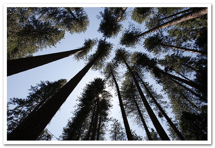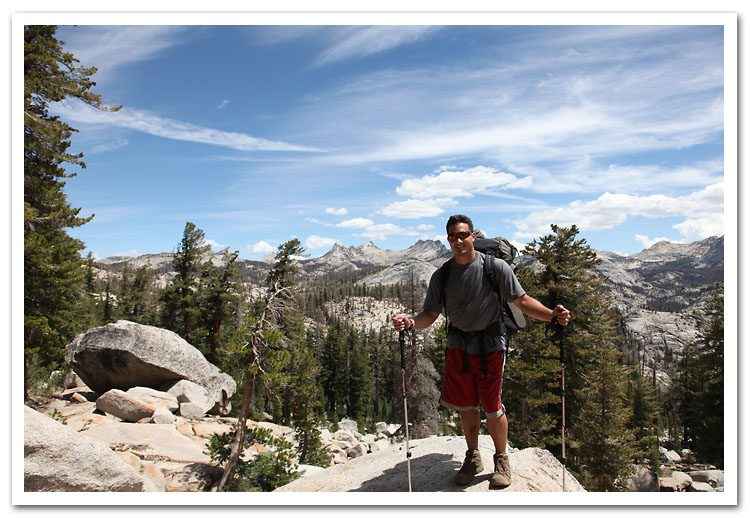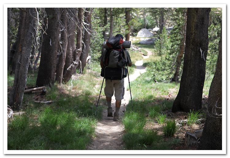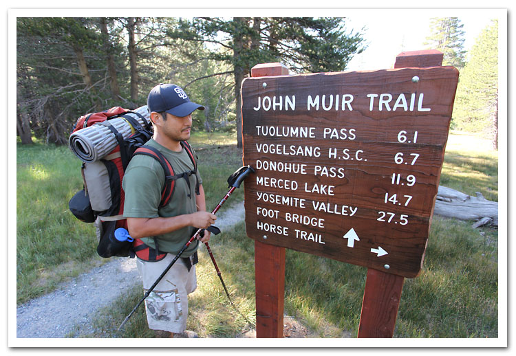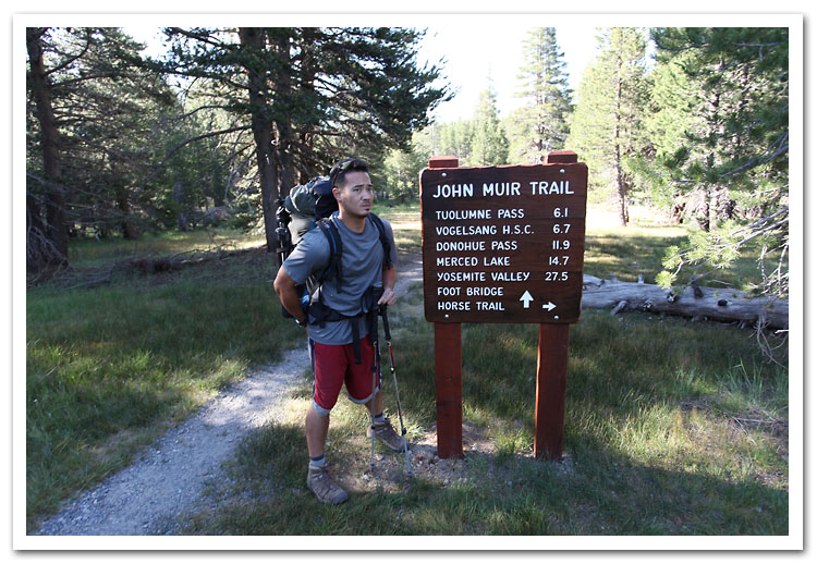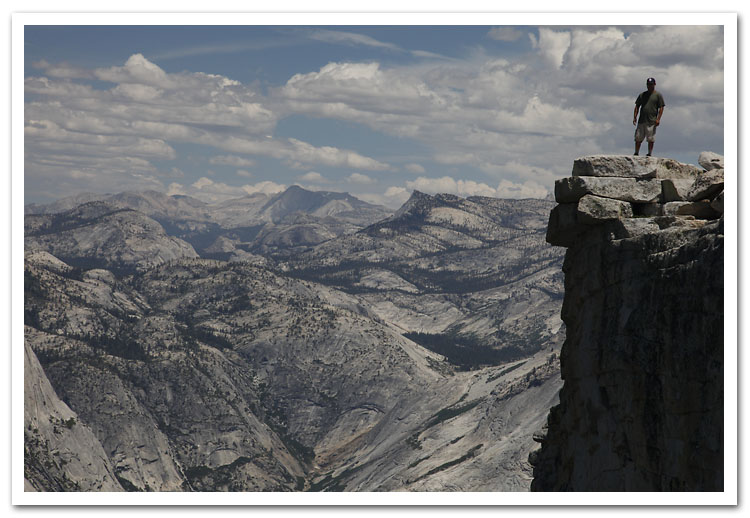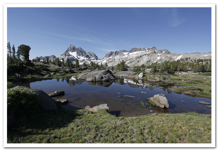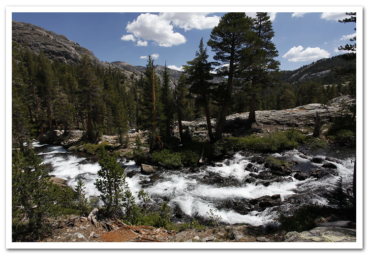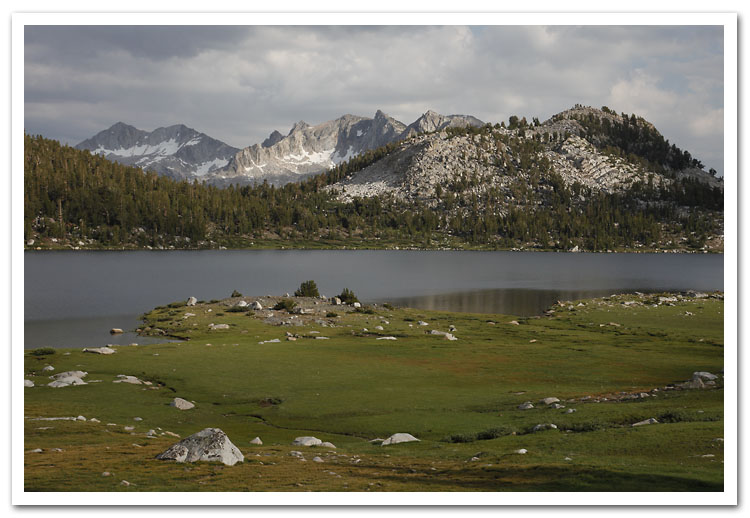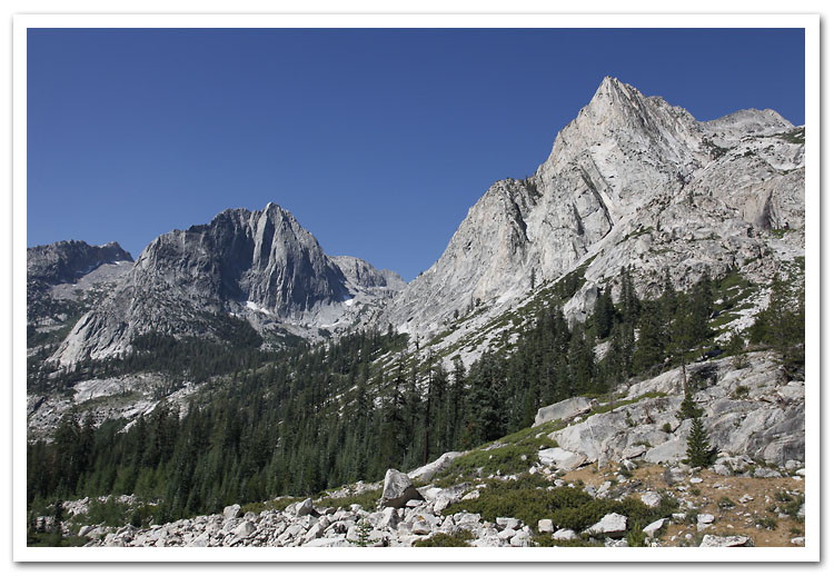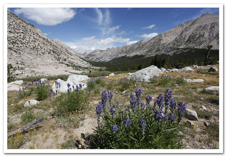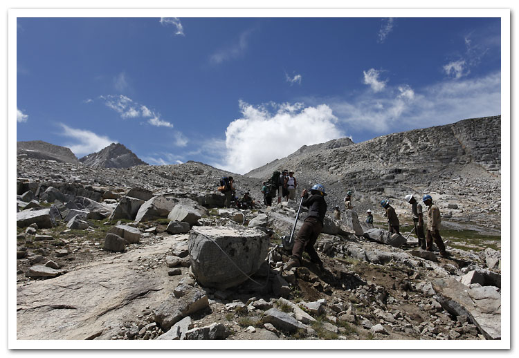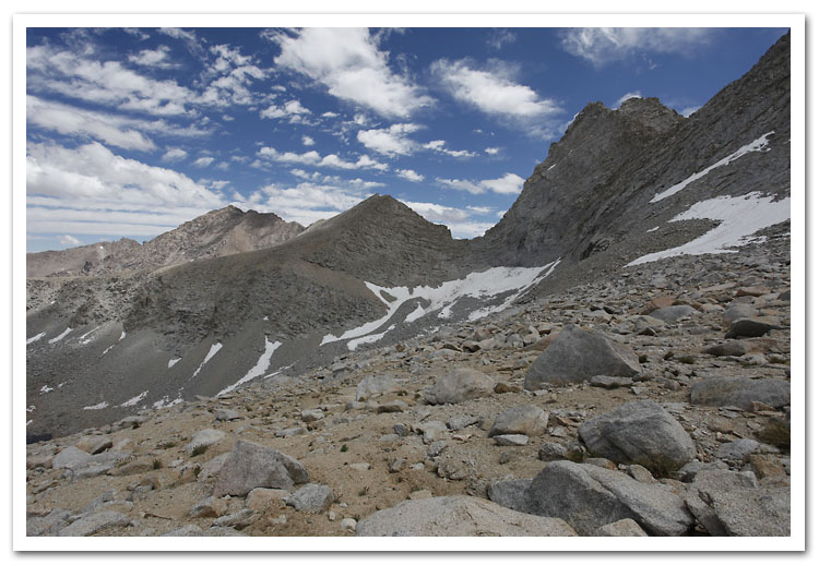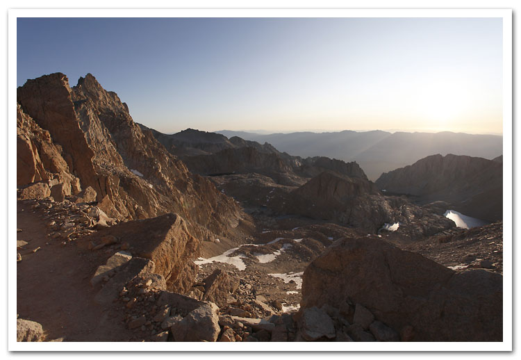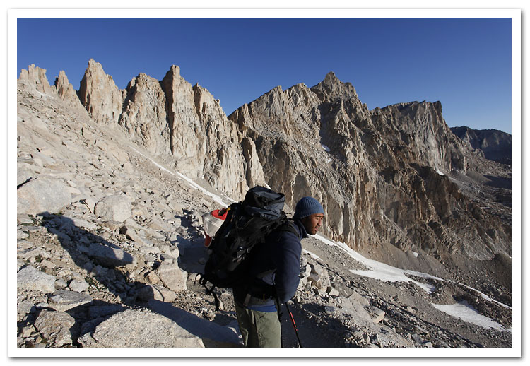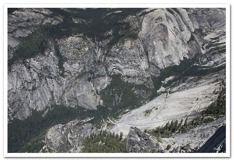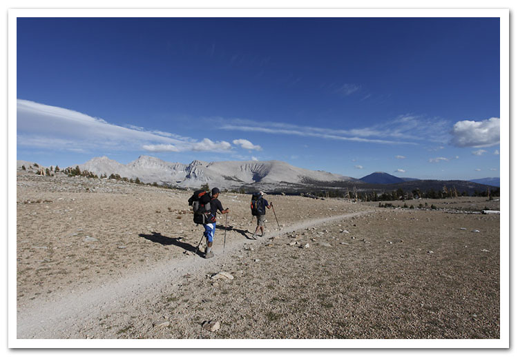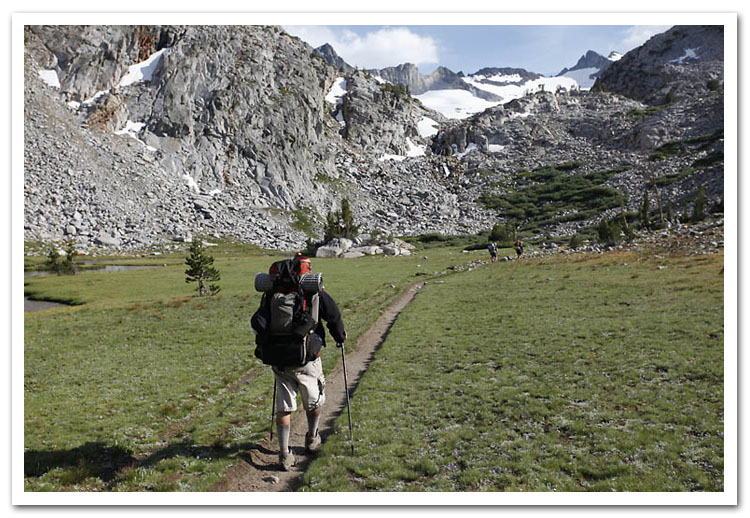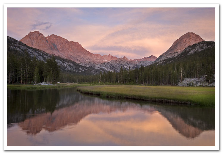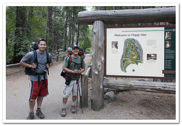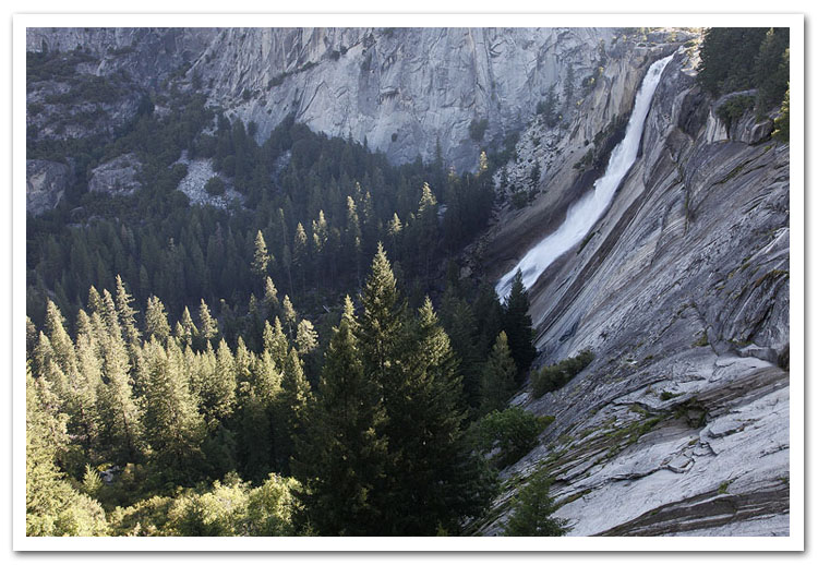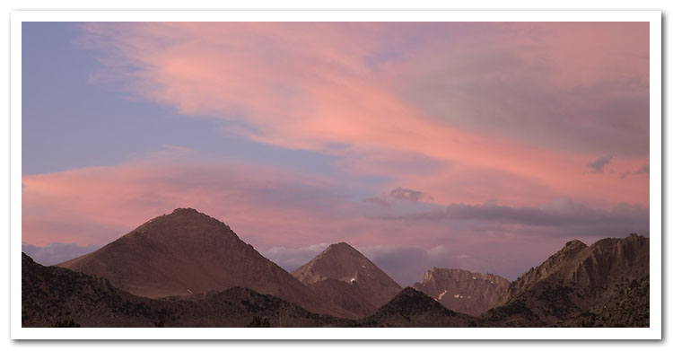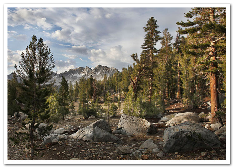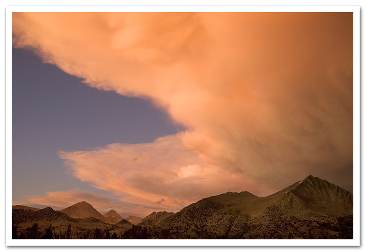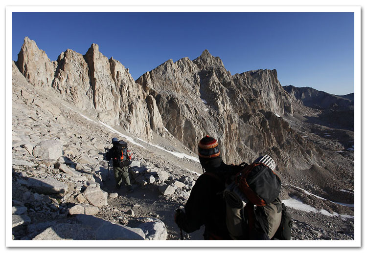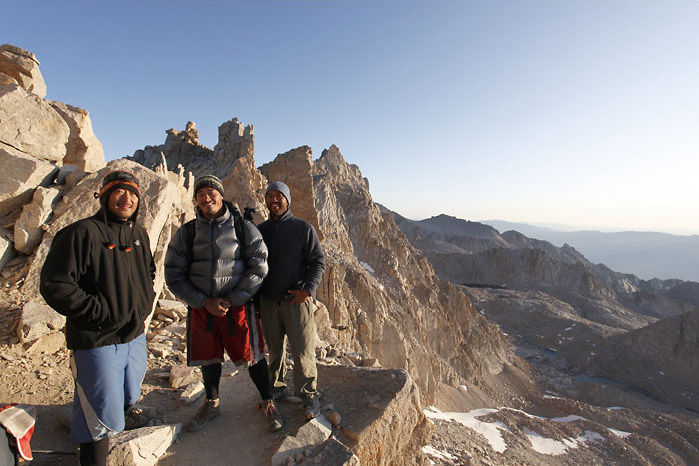
The John Muir Trail begins at Happy Isles in Yosemite Valley and ends at the summit of Mt. Whitney, the highest peak in the continental U.S., 211 miles away.
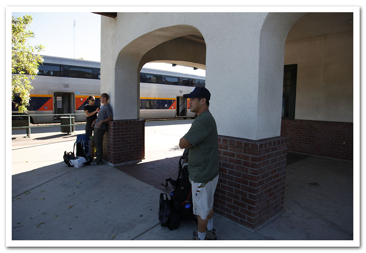
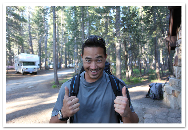
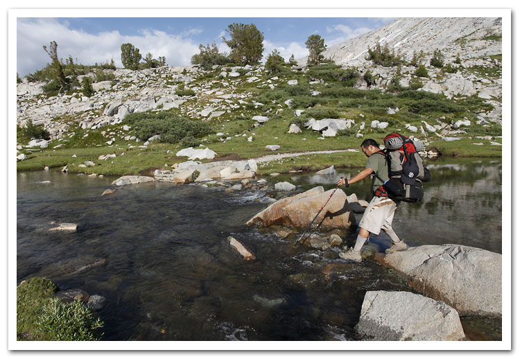
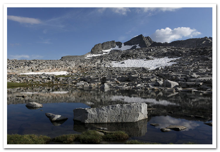
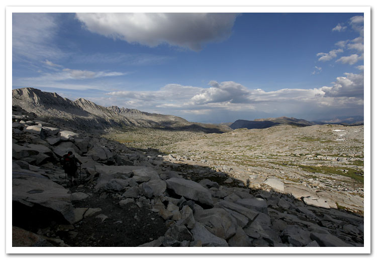
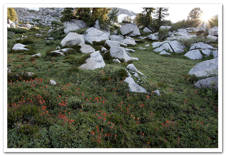
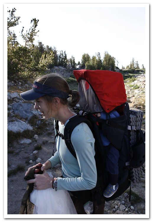
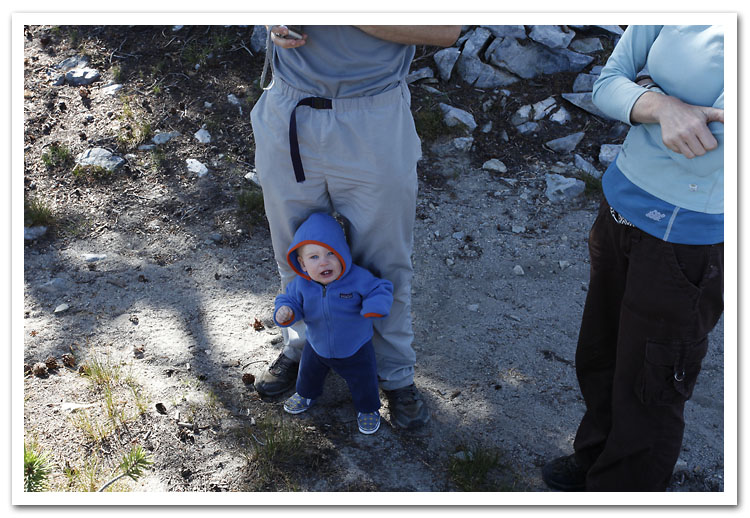
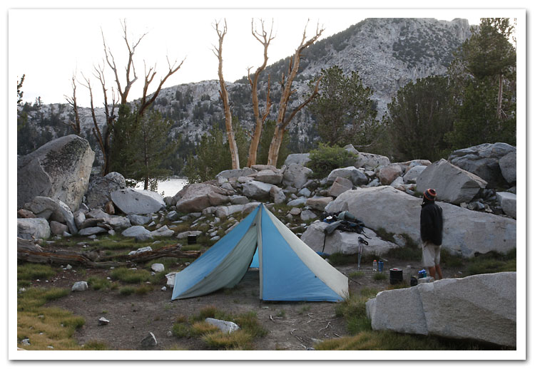
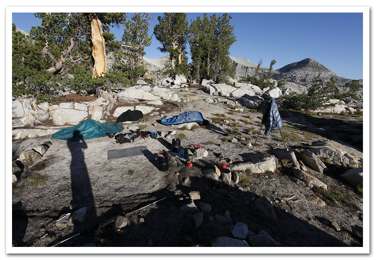
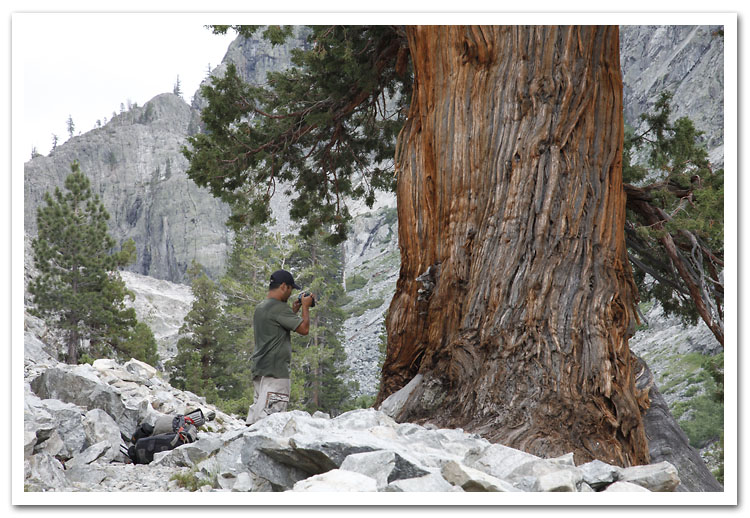
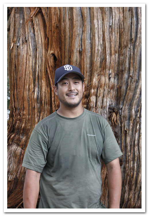
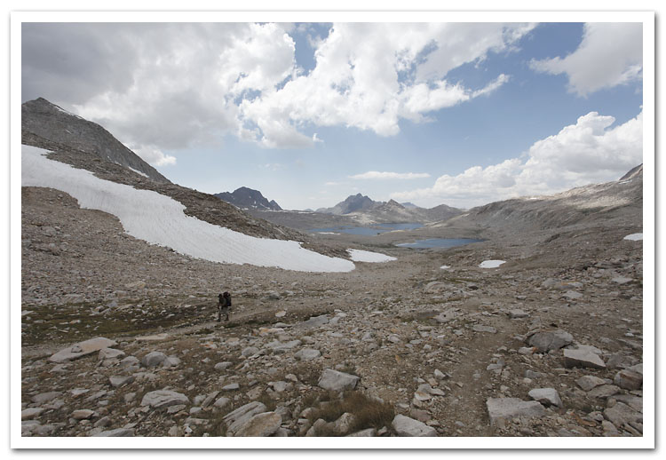
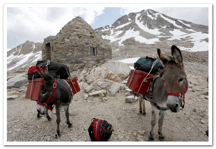
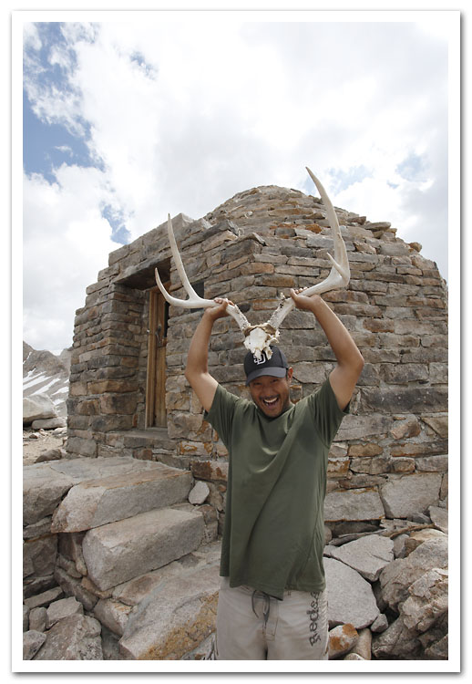
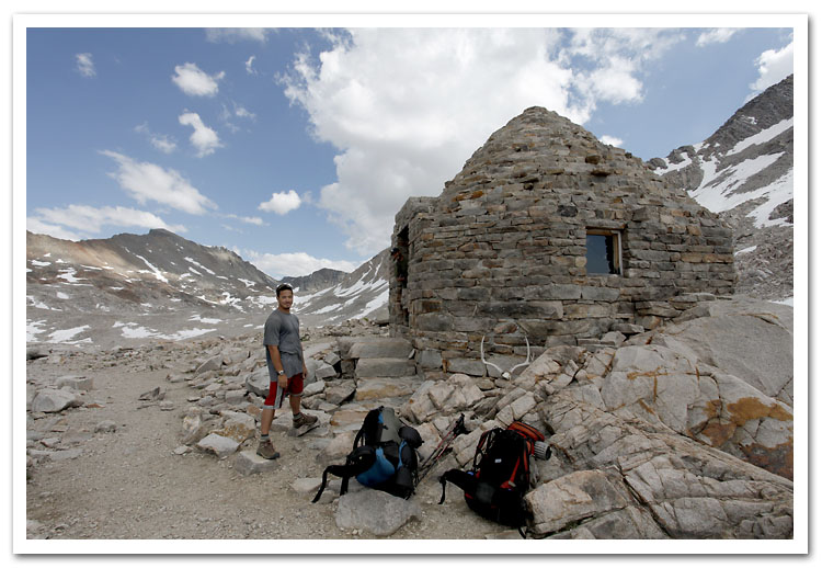
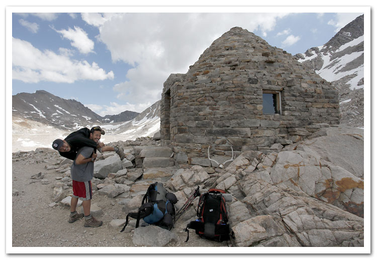
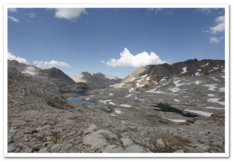
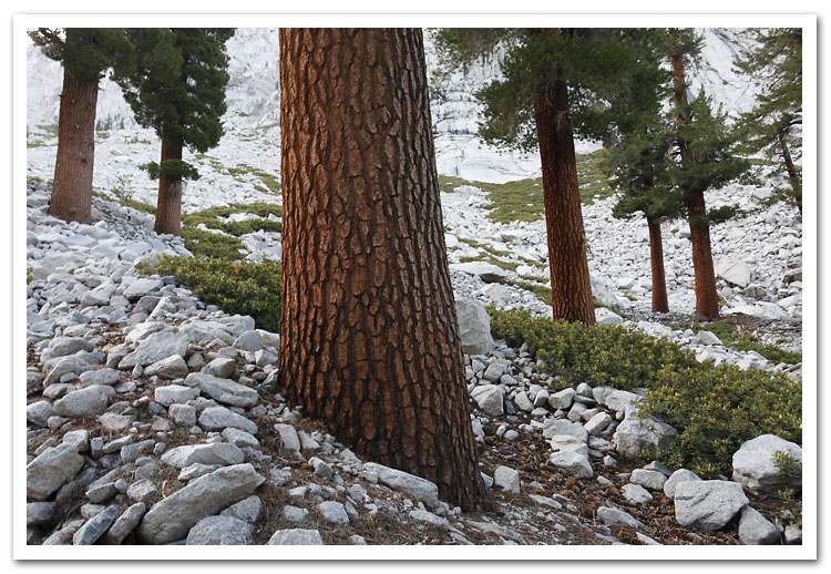
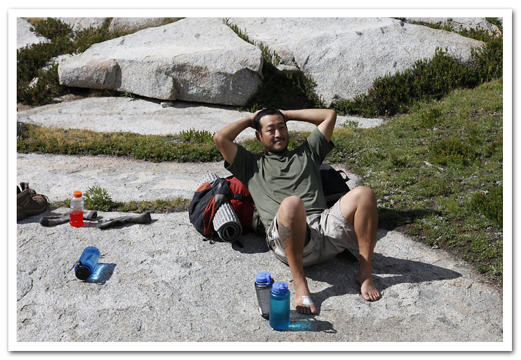
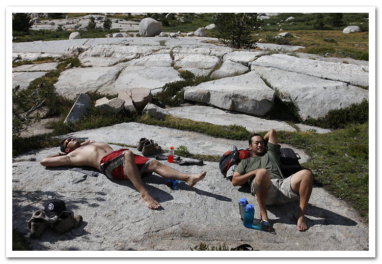
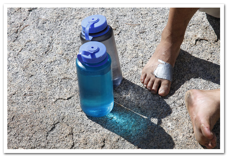
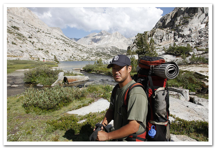
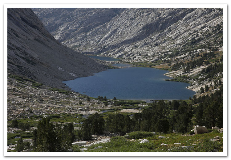
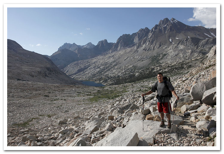
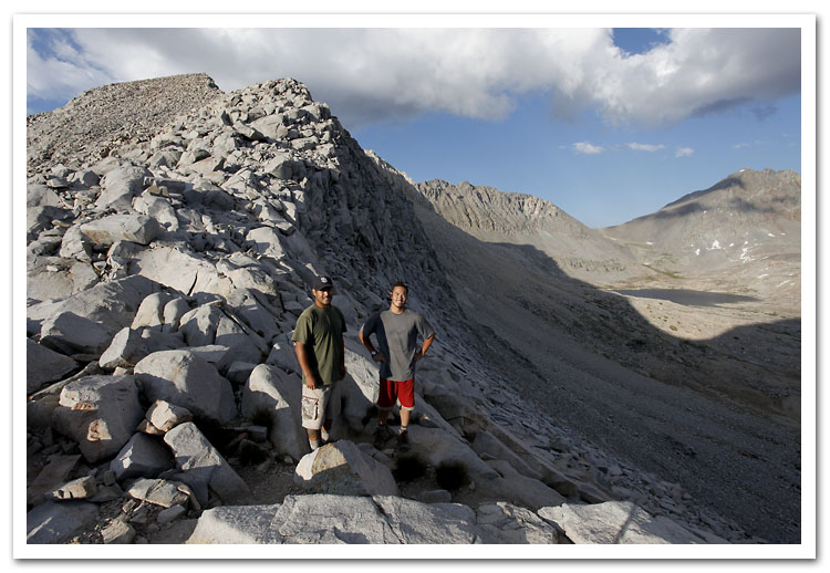
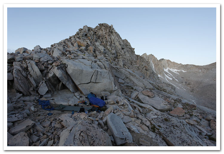
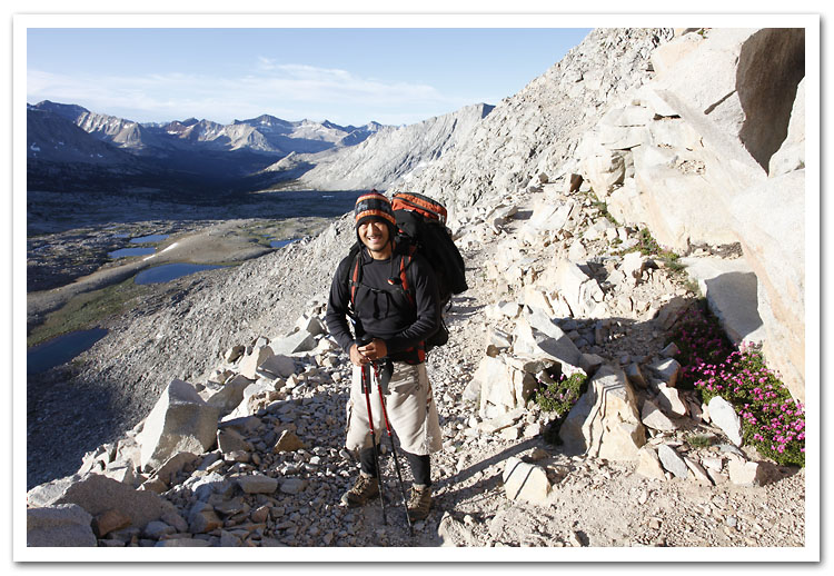
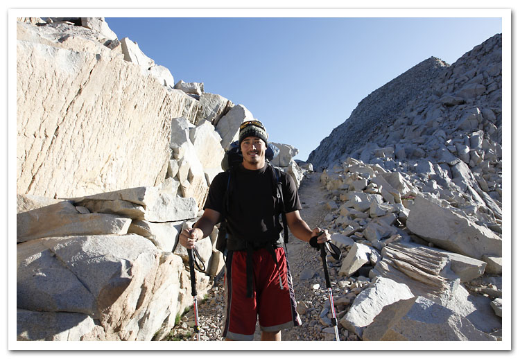
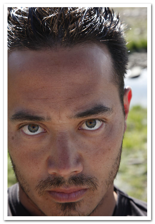
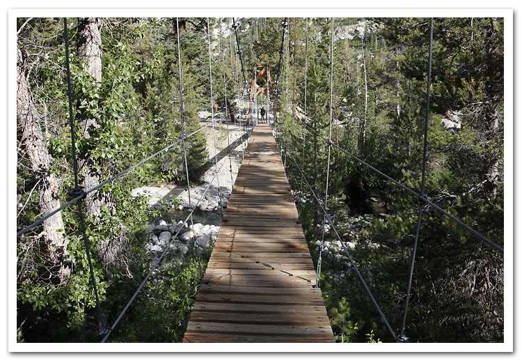
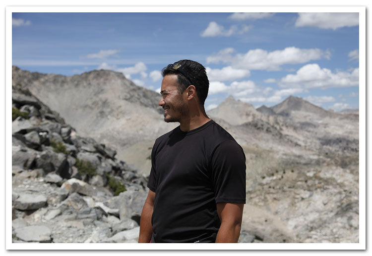
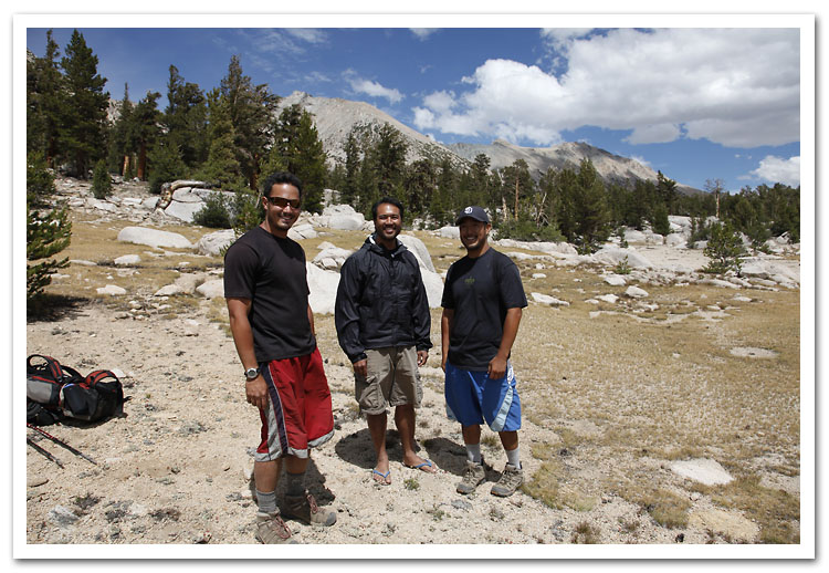
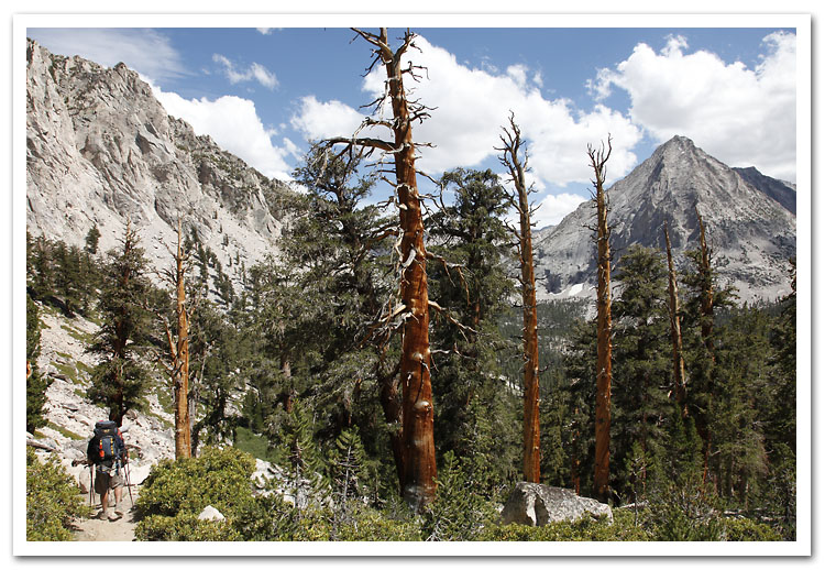
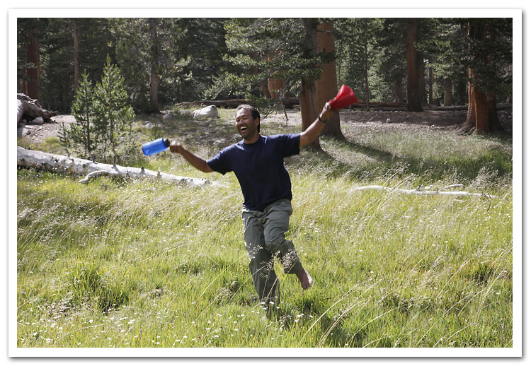
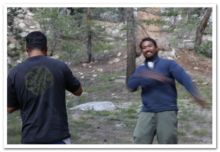
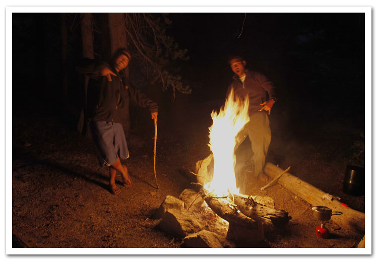
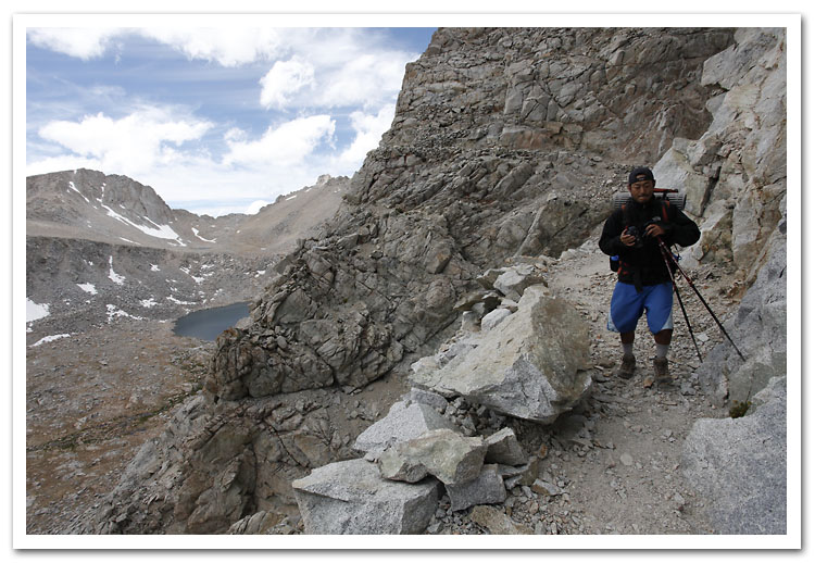
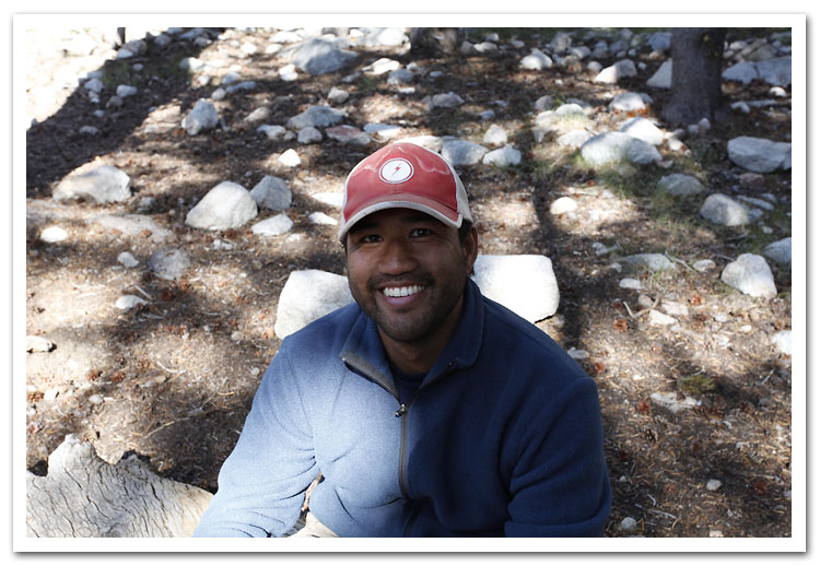
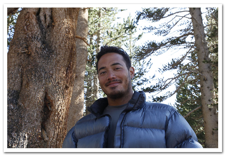
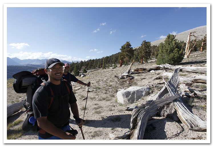
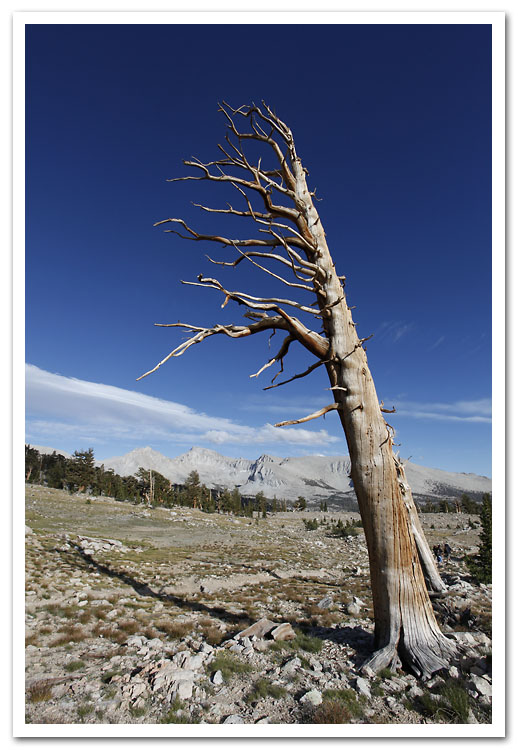
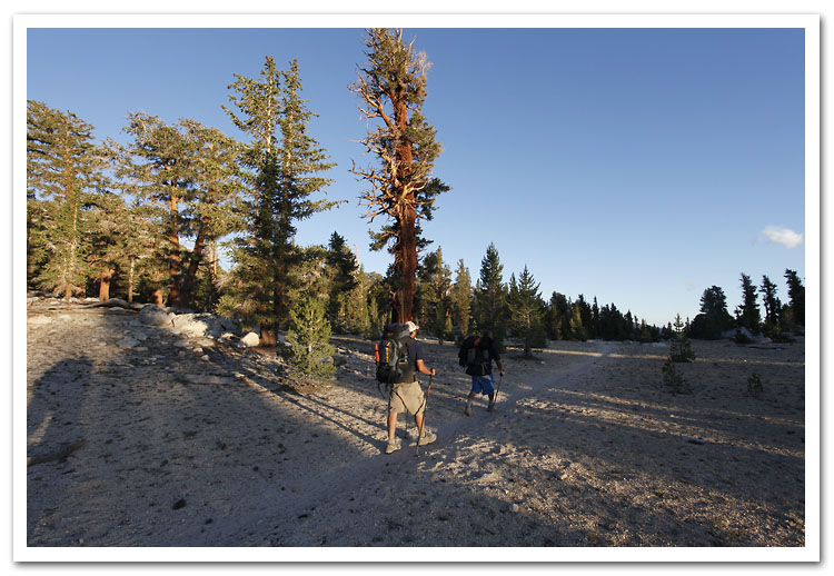
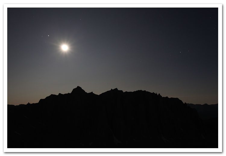
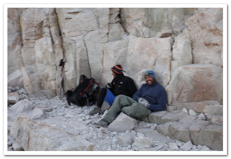
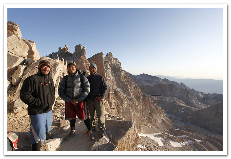
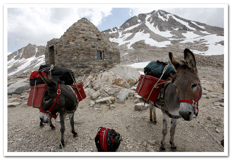
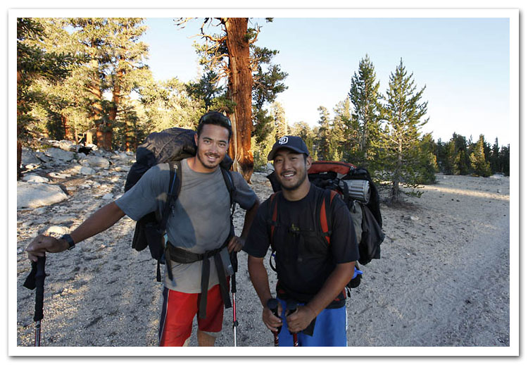
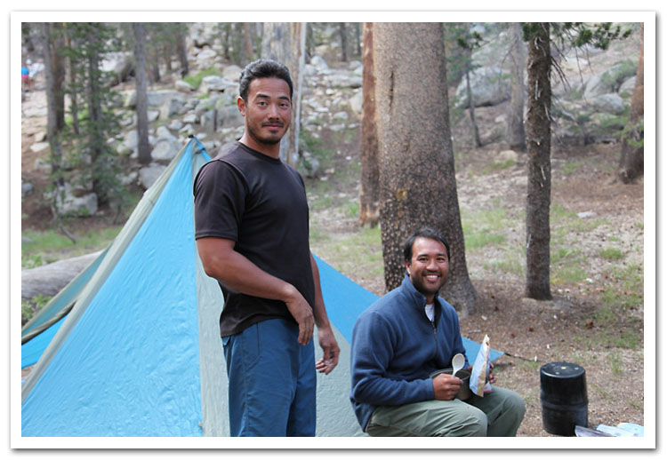
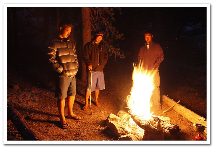
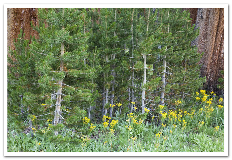
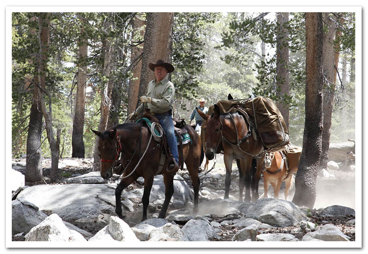
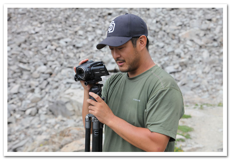
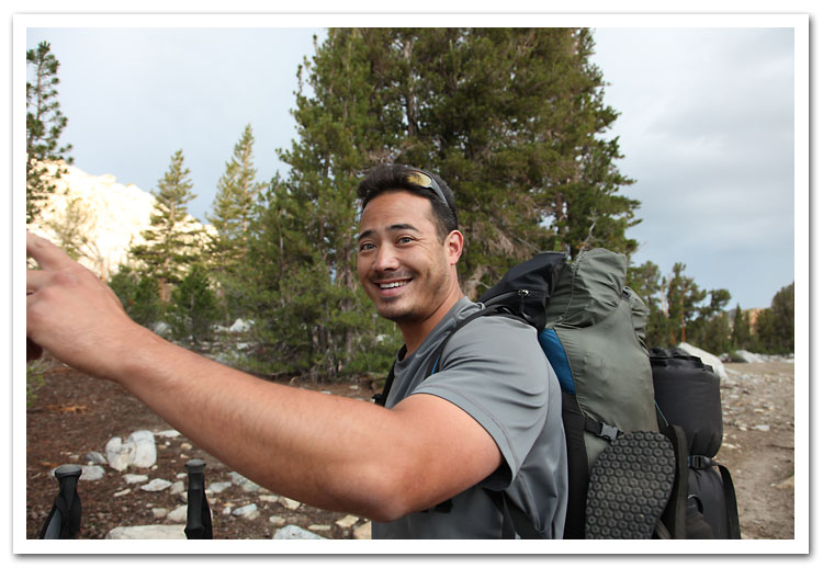
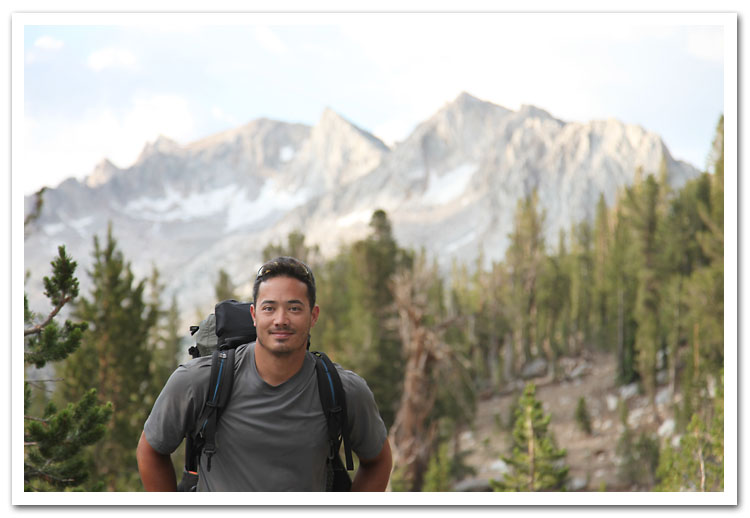
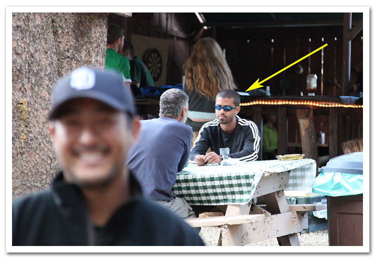
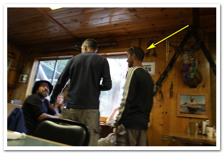
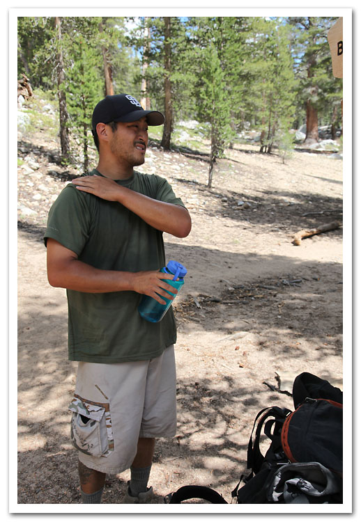
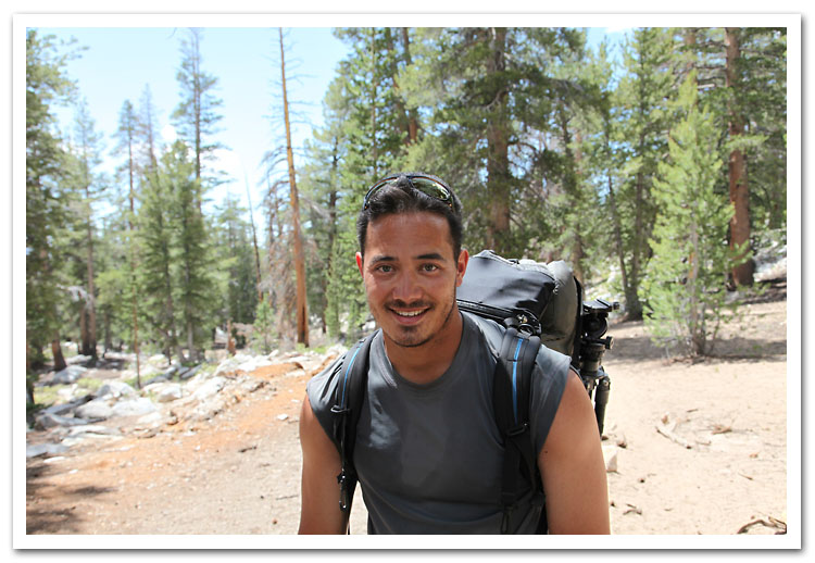
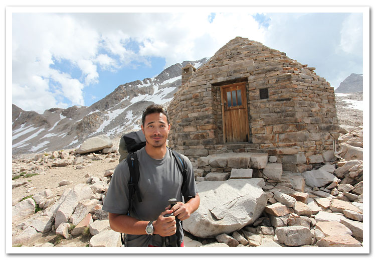
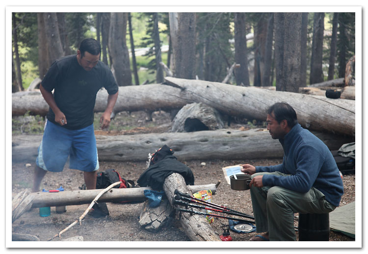
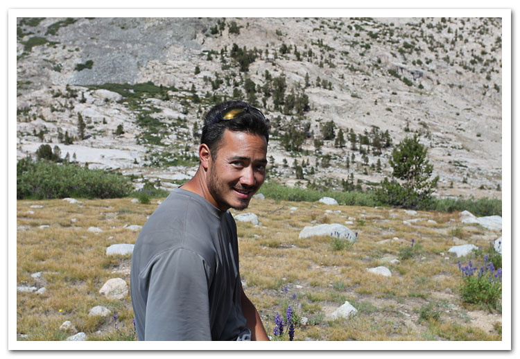
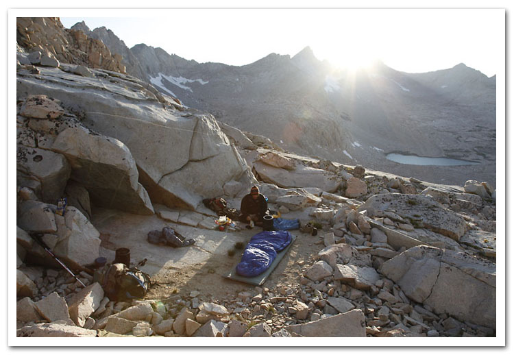
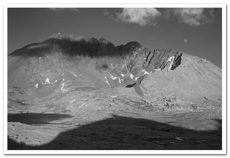
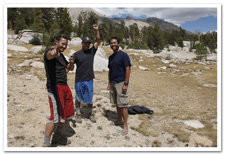
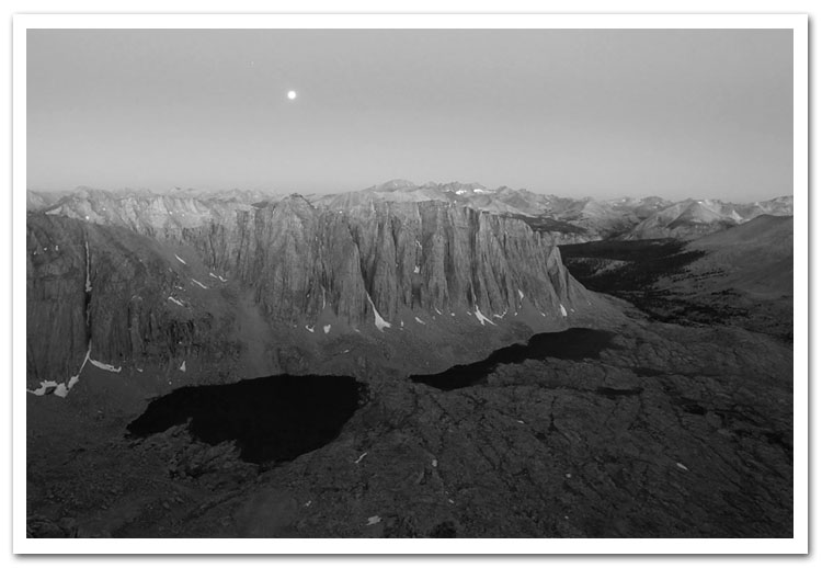
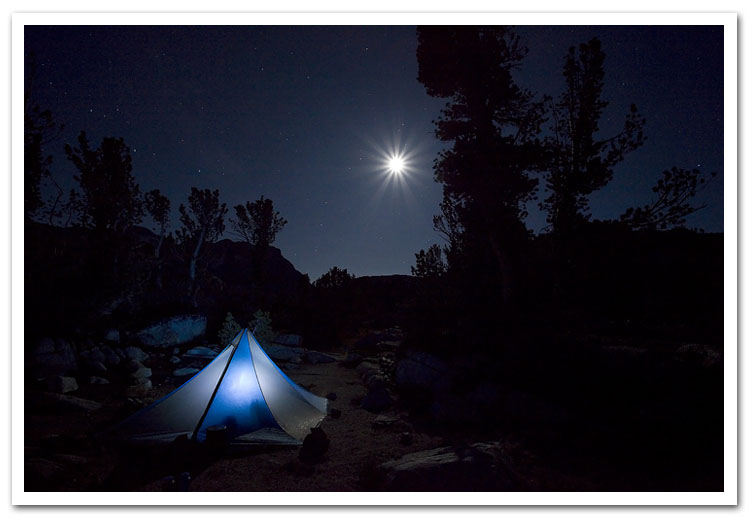
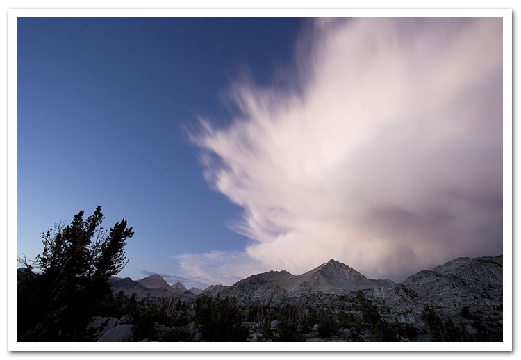
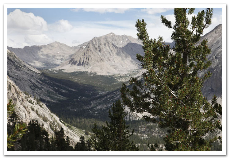
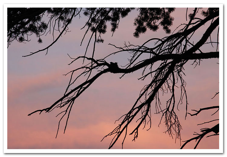
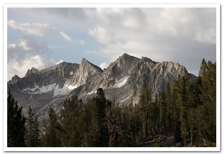
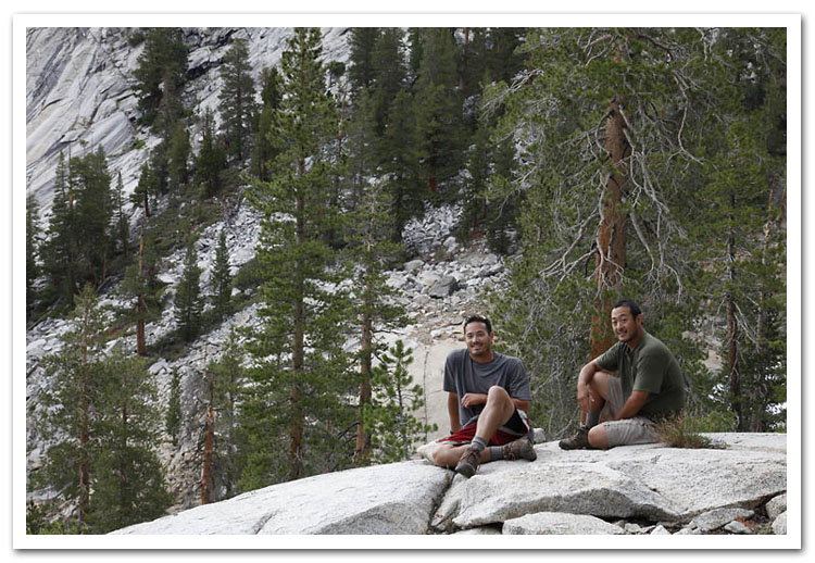
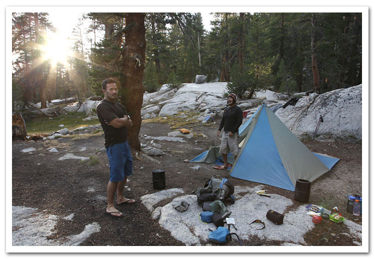
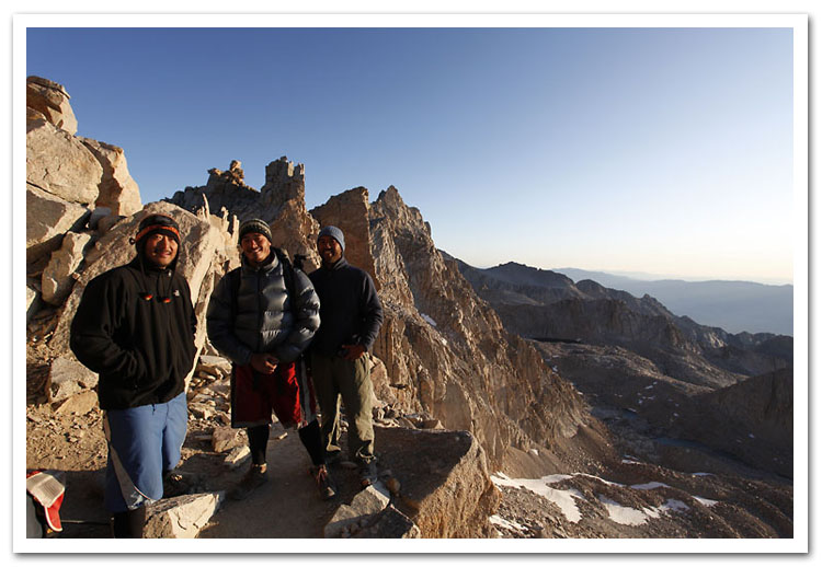
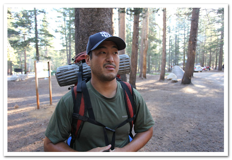
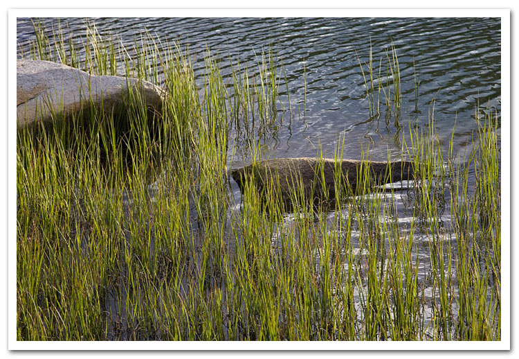
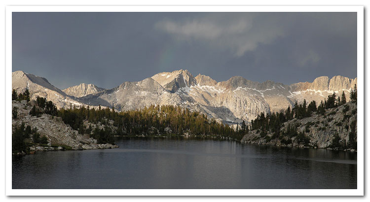
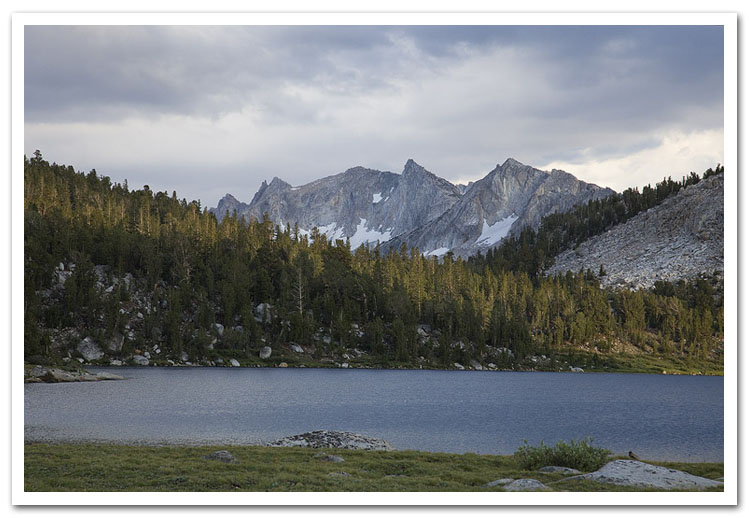
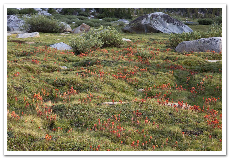
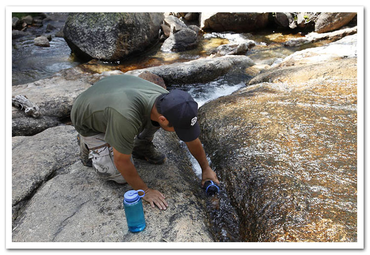
Steve and Lopez hiked the length of the JMT in 2002. I met them near Charlotte Lake, and we completed the final 60 miles together. In 2006, Steve, Lopez, and Lakshan made a second attempt, which was cut short due to unforeseen circumstances; I picked their drunk asses up in Mammoth. This time, Lopez met Steve and I near Charlotte Lake on Day 12, and we finished the trail together in 14 days. I should add some more details, but where to start? Maybe you should just watch the video. These pictures are all out of order, still need to fix that.
Our itinerary:
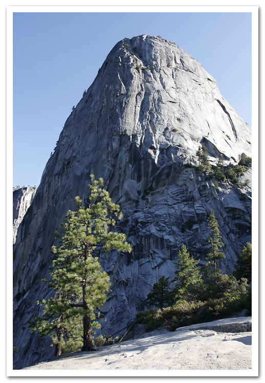
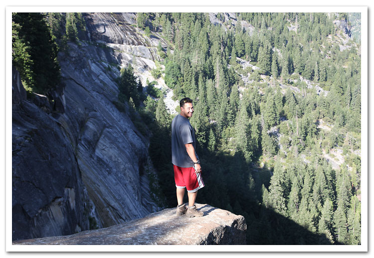
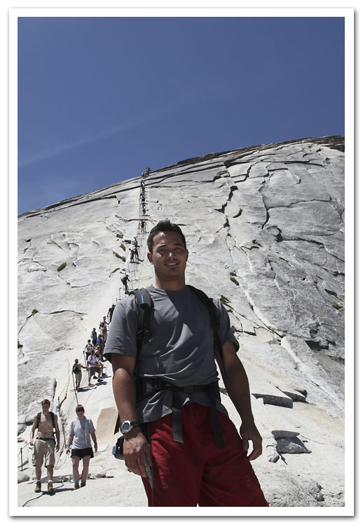
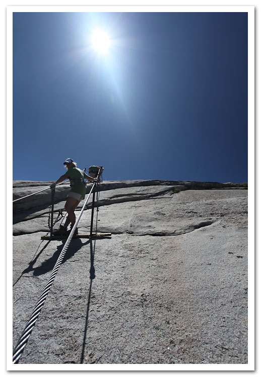
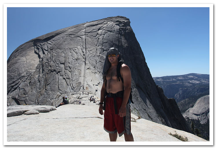
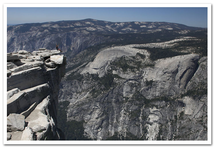
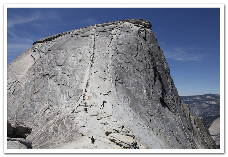
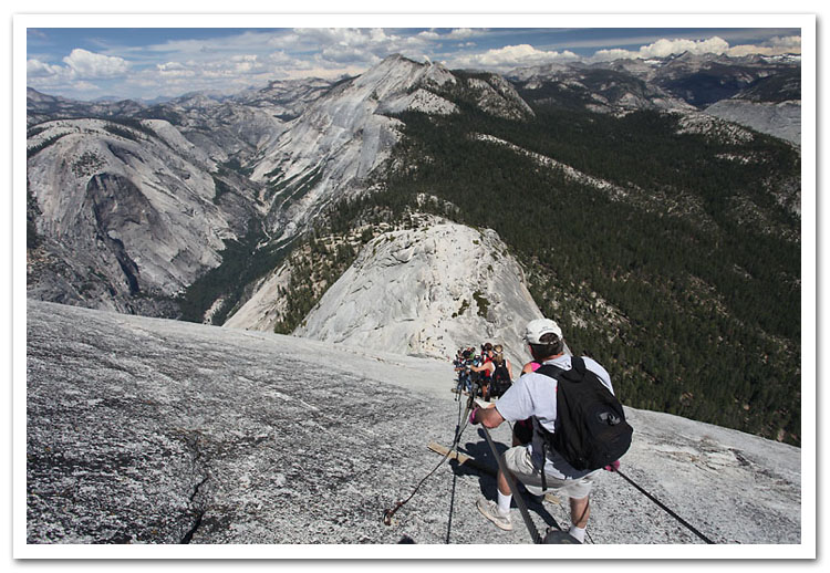
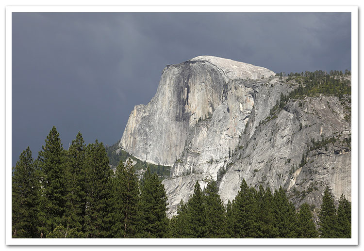
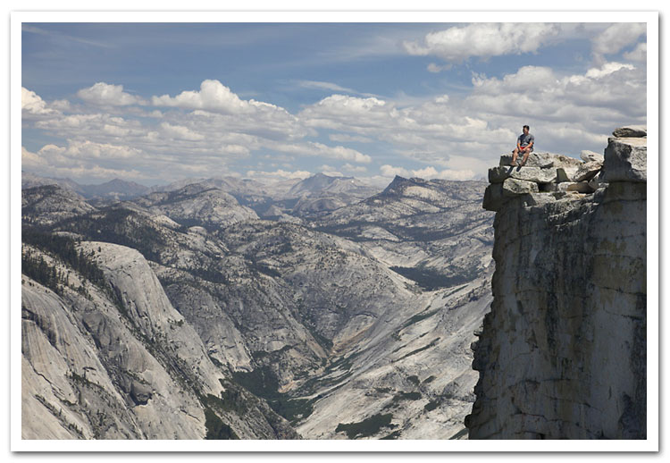
Day 1: Happy Isles to Little Yosemite Valley, side trip to the summit of Half Dome: 13.4 miles
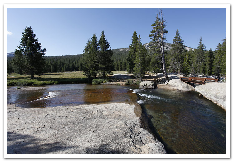
Day 2: Little Yosemite Valley to Tuolumne Meadows backpacker’s camp: 20 miles
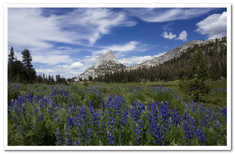
Day 3: Tuolumne Meadows to campsite near Marie Lakes Trail Junction: 17 miles
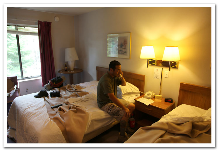
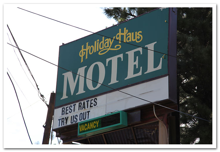
Day 4: Marie Lakes to Reds Meadow, shuttle to Mammoth’s Holiday Haus. Pizza and Coke!: 20 miles
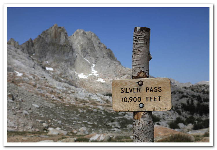
Day 5: Duck Lake trailhead to Viriginia Lake: 11.1 miles
Day 6: Virginia Lake to Vermillion. Deep fried porkchops for breakfast!: 15.0 miles
Day 7: Vermillion to Marie Lake via Bear Ridge Trail: 16.0 miles
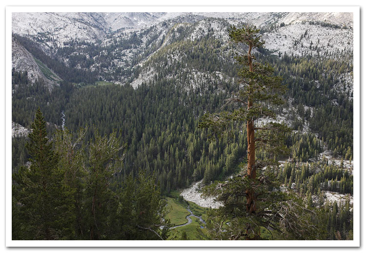
Day 8: Marie Lake to McClure Meadow, Evolution Valley: 17.5 miles
Day 9: McClure Meadow to Big Pete Meadow: 15.8 miles
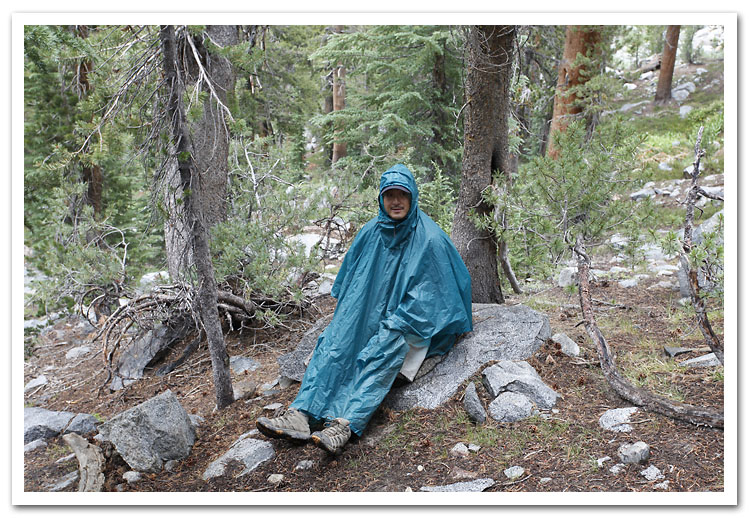
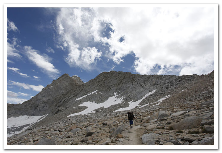
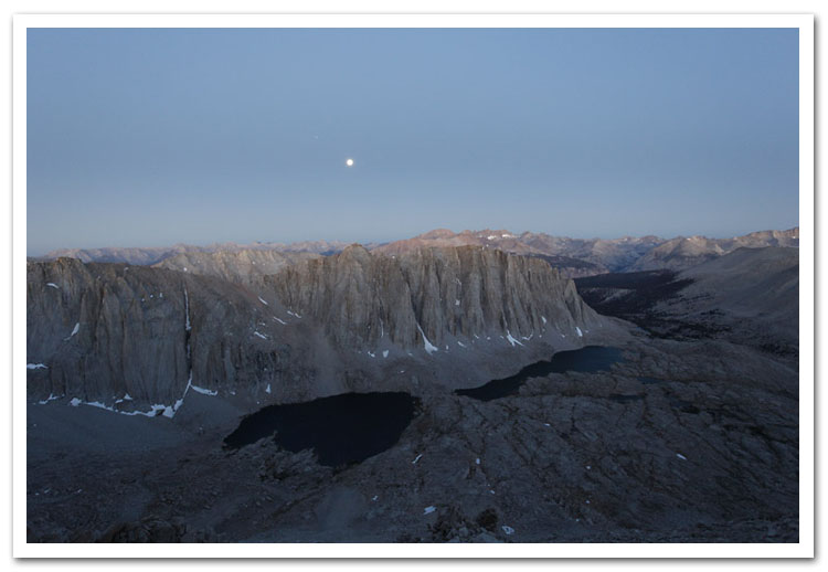
Day 10: Big Pete to Mather Pass. Cold and wet night!: 16.0 miles
Day 11: Mather to Wood Creek Junction: 17.0 miles
Day 12: Wood Creek to Vidette Meadow: 14.0 miles
Day 13-14: Vidette Meadow to Whitney Portal: 34.0 miles